dimanche 31 juillet 2016

Scarifications - Front Lines

Since the beginning of the conflicts, in Syria, Ukraine, and recently the brief clashes on the Eritrea/Ethiopia’s border, the press articles describe the events and situations using terms that sadly refers to our history. The First World War centenary in 2014 accentuated this feeling of "déjà vu". Journalists describe military works, such as "trenches", "bases" and military actions like "sieges" and "front lines." For all these words, we have references in mind, like for example the First World War trenches (1914-1918) and the sieges of Stalingrad (1942-1943) and Sarajevo (1992-1996). The urban context of the conflicts also refers to daily places in which we can identify ourselves, a neighborhood, a street, a hospital, a market place.
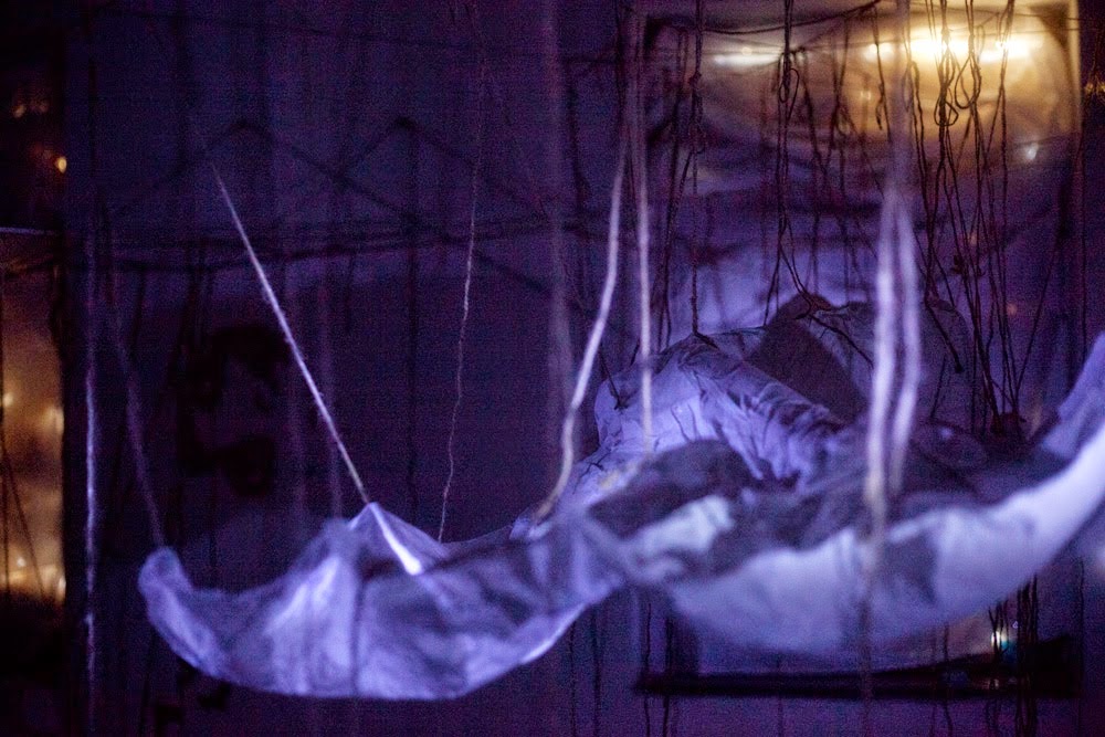
All those words are sometimes illustrated with photos and videos. However, this information is barely geotagged. If territorial control is monitored and updated regularly, location and description of the "military installations" and the impact of these conflicts is not. I’m interested into the landscape impacts of conflicts. This work is the result of an artistic and urban crossed approach. My thoughts are focused on the concept of “body-territory”. Five years ago, what began as a simple search for locating events in Syria to understand the territorial issues has gradually evolved into a mechanical and impulsive tracking of trenches on aerial views. This made and still make me feel indignation, anger, sadness and helplessness in front of what I discovered.This led me to create in 2015 the art installation "Scarifications", an inner cry.

Four conflicts, the same scars

Through the simple observation of the trenches on aerial views, we get a unique mapping of territories in conflict. Defensive or offensive trenches are the evidence of an edge, a border, existing, suffered or desired. These are dug everywhere, across the fields, cities, buildings. In my perception of the “body-territory”, these lines are the result of a scarification, open wounds in the landscape. As a combat zone, the scope of weapons implicitly creates a "no man's land." This status implies a cessation of the initial activity of the place. From the Sarajevo’s siege, to the Eritrea/Ethiopia’s border, the generalized war in Syria, or the Donbass war in Ukraine, all these territories with different geographies and time frames, have without exception similar scars.

From individual thoughts to collective action

It’s July 2016 and there isn’t any close sign of appeasement in the conflicts. In Ukraine, there are clashes every day and in Syria, bombings and attacks continue daily. The publication of the latest aerial views are showing even more trenches, formalizing more sieges and new borders.The approach I described above, either artistic or scientific, remains very limited or insignificant in front of the challenge to resolve all the conflicts.In France, we kept some trenches in a role of memory so the generations should not forget what took place on our territory, and what happened to the people.But we can do something here, by preventing new physical and mental trenches and it’s our responsibility of citizens in a country at peace, to welcome refugees and give them hospitality.

samedi 30 juillet 2016

Scarifications - Lignes de front - frontière entre l'Erythrée et l'Ethiopie

Autour de Badmé, l’un des champs de bataille de la guerre qui a opposé les deux pays entre 1998 et 2000, nous observons un réseau de tranchées et talus. Si certaines parties étaient présentes avant 2006, d’autres ont été créées depuis, jusqu’en février 2016. Cette prolifération est peut—être l’écho des affrontements sporadiques qui secouent régulièrement la frontière.


Scarifications - Lignes de front - Ukraine

Depuis le déclenchement des hostilités en 2014, nous distinguons clairement le déploiement des tranchées, sur les 400 kilomètres depuis l’est de Marioupol jusqu’à la frontière russe au nord de Louhansk. Plus d’un millier de ces structures militaires se sont visiblement développées en seulement 9 mois, jusqu’à juin 2015.
Prenons l’exemple de l’entrée de ville Est de Marioupol, au sud de l’Ukraine, sur la côte. Les premières tranchées d’un point de contrôle y apparaissent entre le 27 juillet et le 9 septembre 2014. Entre le 25 octobre et le 21 novembre, ce sont les tranchées d’une ligne de front qui sont creusées. Depuis, le système de défense n’a cessé d’être complété.
L’avenir nous dira si ces tranchées disparaîtront ou bien si au contraire nous assistons à l’émergence d’une nouvelle frontière.


Scarifications - Lignes de Front - Sarajevo

La photo aérienne la plus ancienne disponible date du 13 mars 2002 et couvre l’agglomération de Sarajevo. Nous sommes donc 6 ans après la fin du siège. Plus de 300 tranchées sont encore visibles et révèlent des portions de l’ancienne ligne de front. Les années suivantes, et ce jusqu’à la photo aérienne la plus récente du 26 octobre 2015, la reconstruction et la végétation effacent et dissimulent progressivement ces traces. Certaines collines conservent malgré tout des stigmates de ce conflit.